Your cart is currently empty!
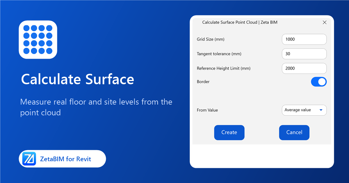
Need the real levels of an uneven slab or site from a scan? Calculate Surface measures the Revit point cloud surface on a grid and places a reference point at each measured height, ready to shape floors, roofs and toposolids.
What the Revit point cloud surface tool does
Calculate Surface measures the surface height from the point cloud at regular grid points over a reference floor and places a ZetaRefPoint at each measured point. You then use Floor By Points, Roof By Points or Topo By Points to shape the element to these points.
Before you start
- Open a 3D view. The point cloud must be visible in this view.
- Create a flat reference floor that covers the area to measure, placed at or slightly below the real surface. The tool only looks upwards from the top of this floor.
Steps
-
Click Calculate Surface (Zeta BIM tab › PointCloud Tools).
-
Pick the reference floor.
-
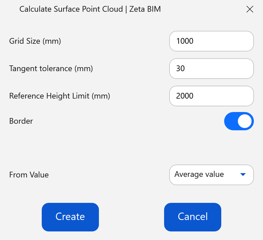
Set the options (see below) and click Create.
-
Wait for the progress window. Closing it cancels the whole run; nothing is added.
-
ZetaRefPoints appear on the surface. Select them with Floor / Roof / Topo By Points.
Options
| Option | Default | Meaning |
|---|---|---|
| Grid Size | 1000 mm (40 in) | Distance between measured points. Smaller = more detail, more points. |
| Tangent tolerance | 30 mm (1 in) | Size of the area read around each grid point. Increase it when the point cloud is sparse. |
| Reference Height Limit | 2000 mm (80 in) | How far above the reference floor the tool looks for the surface. |
| Border | On | Also places points along the edges of the reference floor. |
| From Value | Lowest value | Take the lower side, the middle or the upper side of the measured surface. Average value suits most scans. |
Settings are remembered separately for metric and imperial projects.
Good to know
- Furniture, people and pipes above the floor are ignored as long as part of the floor is visible around them.
- Where too few points are found, no point is placed.
- Where the surface is completely hidden (a box standing on the floor, dense vegetation), the result may follow the top of the object. Check the points before shaping.
- On steep slopes, keep the tangent tolerance small for the best accuracy.
- The reference floor must be flat (not already shape-edited).
Related
- Floor By Points · Roof By Points · Topo By Points
- Cleanup ZetaBIM Data removes the ZetaRefPoints when you no longer need them.
Video
Get ZetaBIM
ZetaBIM is a Revit plugin for scan-to-BIM teams. See the complete guide to the Revit point cloud plugin workflow. Download ZetaBIM to try it, browse more ZetaBIM tutorials, or watch the videos on the ZetaBIM YouTube channel.
About The Author